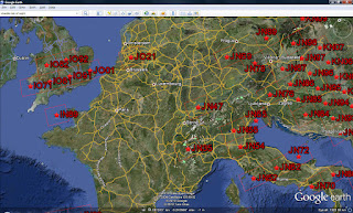
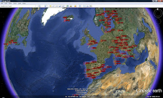
 Map your grid squares worked using WG7J Gridmapper
Somewhere over the last few days, I saw something somewhere about the WG7J GridMapper and how you can use it to map the locator squares (grids) that you’ve worked.
No software to install, it’s a webpage (http://wg7j.reinalda.net/gridmapper/gridmapper.php).
All you need to do is to use your logging program to create an ADIF file of your contacts and then you can use the WG7J GridMapper to create some nice maps. You can select the band you want to map – in my case I chose 50MHz since 1st January (I limited the date range in my logging program) – change the appearance of the map and decide whether to send the output to Google Maps – or if you have Google Earth – you can produce a KML extract that Google Earth will read. I tried both. The Google Maps is the first one to play with.
I liked the output to KML option better, but you have to download the file that the page produces and open it in Google Earth – easy enough if you are confident with Google Earth, KML and so on.


I do not even know how I ended up here, however I assumed this publish was great. I do not realize who you’re however definitely you are going to a well-known blogger in case you are not already. Cheers!